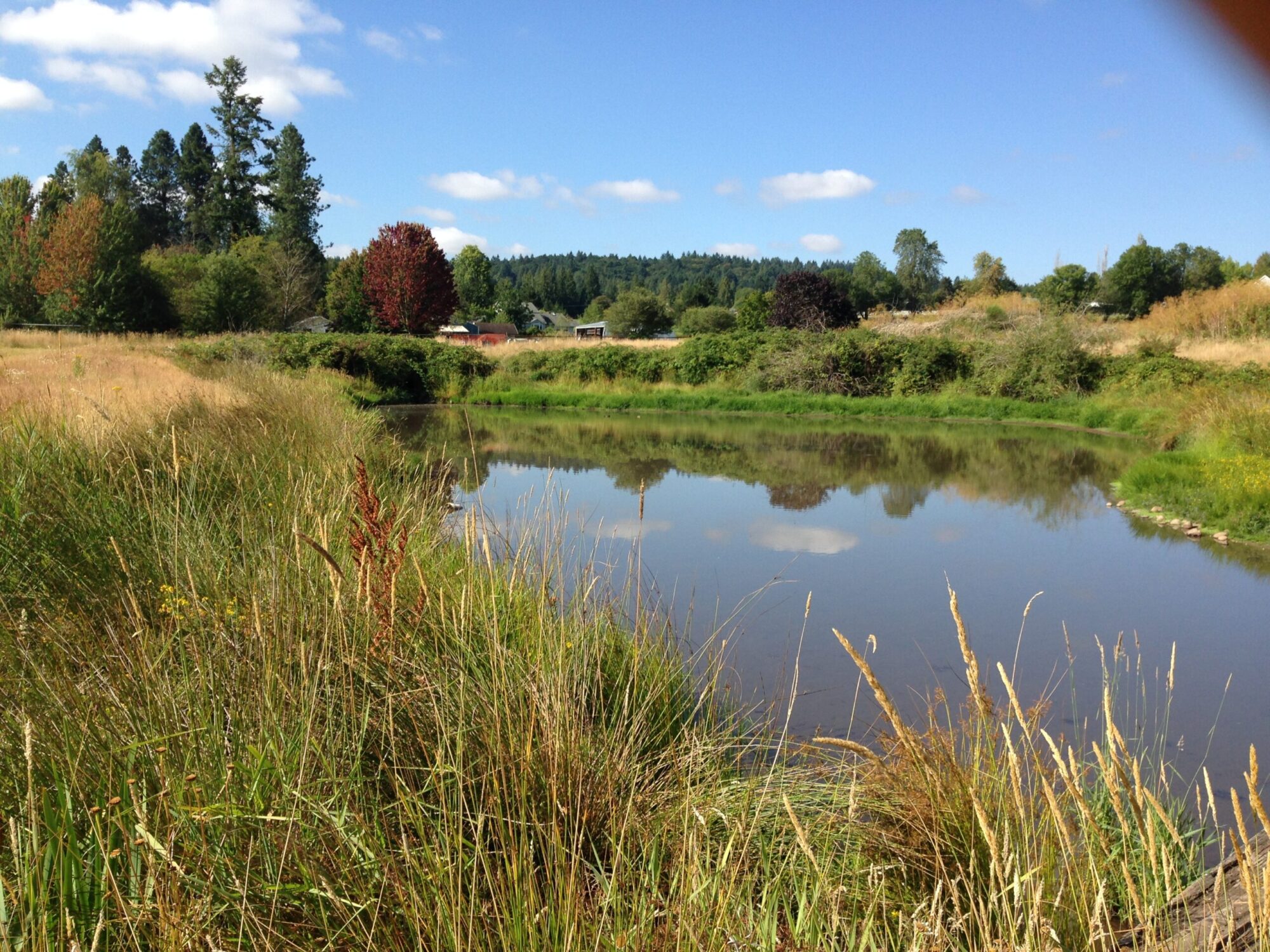
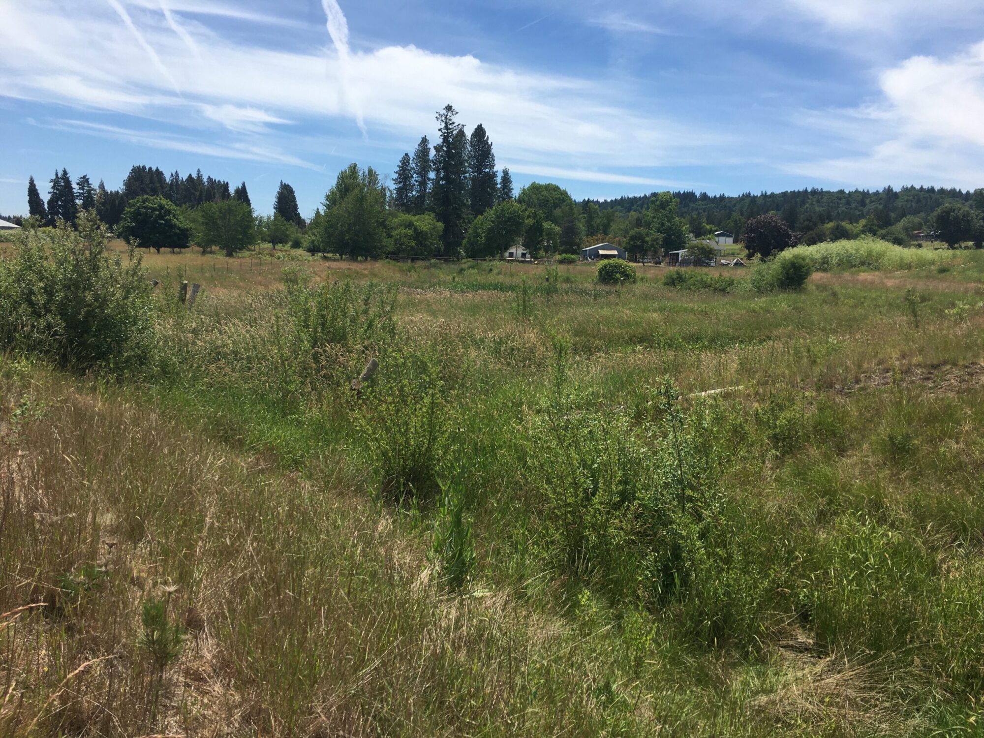
Long-time readers of JCWC’s publications (both print and online) might remember a project the Council completed several years ago on property owned by the Centennial School District in Pleasant Valley. Mitchell Creek, which runs south-to-north across the property before meeting Kelley Creek (a major tributary to Johnson Creek) on the neighboring lot, was seeing enormous temperature increases (as much as 14 °C = 25 °F!) because a previous owner of the property had impounded and broadened the stream to create an inline pond. The creek was also inaccessible to migrating fish due to an impassable culvert at the downstream end of the pond. In summer 2019, JCWC used funding from multiple sources (including the East Multnomah Soil and Water Conservation District, Metro, Oregon Department of Environmental Quality, Portland General Electric, the Oregon Watershed Enhancement Board, and the US Fish and Wildlife Service) to remove the earth berms and culverts at the upstream and downstream ends of the pond, allowing the stream to flow freely for the first time in decades. We also seeded and replanted within, adjacent to, and downstream of the former pond footprint to provide shade and better habitat.
JCWC staff have monitored the temperature in Mitchell Creek on this site since 2012; occasional missing temperature loggers, project construction, beaver activity, and variable dates of measurement make for an imperfect data set, but there’s enough information to provide at least some assessment of whether the project is succeeding. We are able to analyze data taken July through October (since data prior to July were only taken sporadically), from 2012 through 2016 (pre-project) and from 2020 through 2023 (post-project).
One measure of success is to look at the number of days on which the stream temperature exceeds the established threshold for juvenile salmon; water above 18 °C (64 °F) causes stress, or worse, for these fish. Prior to this project, the temperature downstream of the pond was above this threshold for nearly three months (86.8 days, on average)–basically all of July, August, and September! Since the pond was removed, the amount of time above the threshold during this period has been reduced by more than two weeks, to an average of 72 days. As plantings in and downstream of the old pond footprint mature and provide shade, this should reduce exceedance days even further.
The removal of the pond made it possible to monitor temperature at the upstream end of the Centennial property, to learn about the temperature of the stream as it enters the former pond footprint. During the same July-October period since project completion, the temperature at this upstream location has exceeded the threshold an average of just under 64 days. So, on average, the portion of the creek on the Centennial property is adding only 8 exceedance days since the pond was removed.
In addition to reducing overall heat exposure, the project also created new cooler-water habitat on the property. The average summer depth of the pond was only about 25 cm (10 in); this shallow basin heated up rapidly, and stayed warm throughout the summer months. The new creek channel that has formed in the former pond footprint is much deeper (>60 cm or 2 ft in some places). The water at the bottom of the channel is significantly colder than the water at the surface (by an average of 3.5 °C = 6.3 °F in 2022, and by 2.0 °C = 3.6 °F in 2023); in fact, this water is actually cooler than the water entering the pond by a full degree Celsius on average!
As a result of this project, fish now have access to an additional 2.9 km (=1.8 mi) of Mitchell Creek, and the stream is heating up much less as it makes its way through the property. The project created cool-water refuge habitat where there was previously a hot, shallow pond, and remnant wetland areas within the old pond footprint provide habitat for amphibians, dragon- and damselflies, and a variety of birds. Hopefully, continued monitoring will show further decreases in the temperature of Mitchell Creek as plantings mature. Meanwhile, we will continue to use eDNA monitoring to see if salmon start entering this part of the watershed!